Rabbit Island Quadrangle
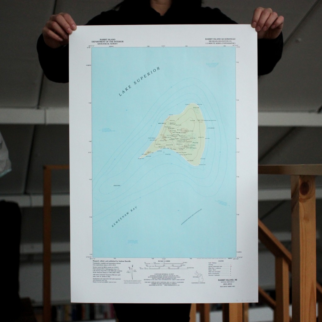
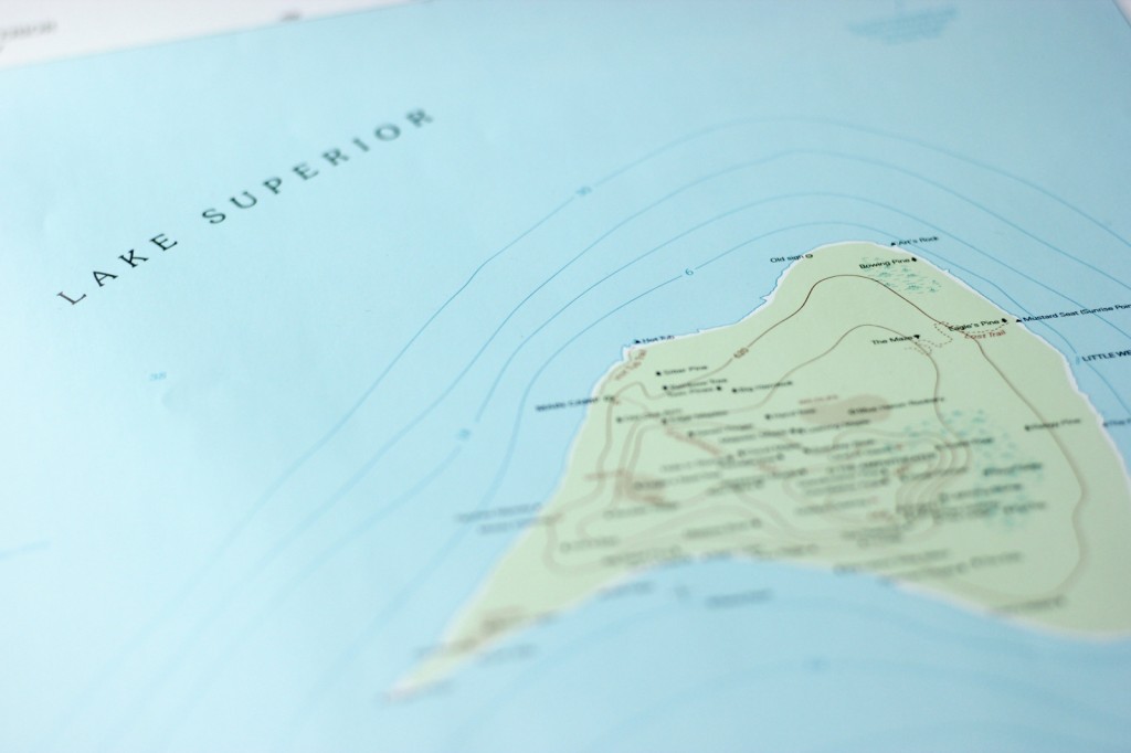
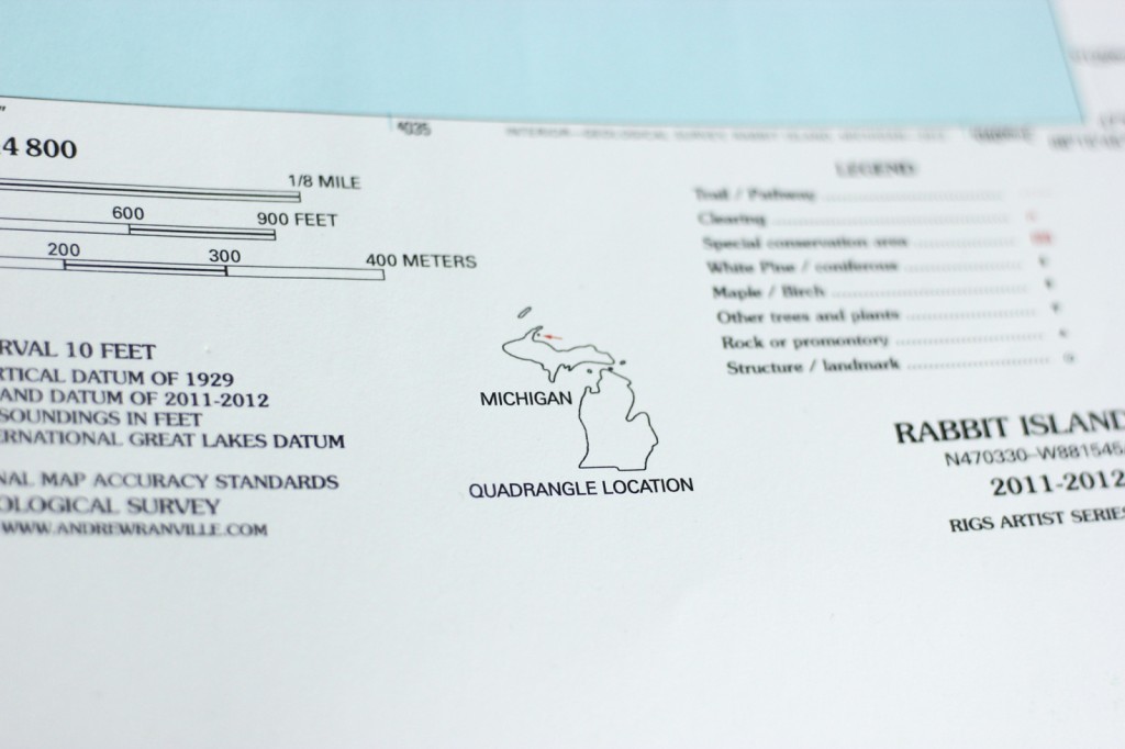
Following United States Geological Survey guidelines and adhering to National Map Accuracy standards I created a traditional topographic quadrangle map of Rabbit Island. Much more detailed than what is currently available by the USGS, the 1.5-minute map uses data recorded over a series of explorations of the island in 2011 and 2012.
Further details about the creation of the map and how you can purchase one of the edition can be found at this Rabbit Island website post.
Specifications:
Spot color lithographic print.
Dimensions 16.25in x 24in (41cm x 61cm).